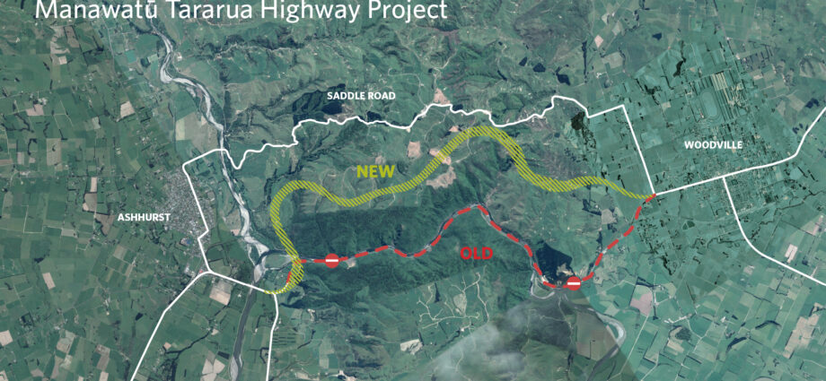
PHOTO: Te Ahu a Turanga – Manawatū Tararua Highway | Waka Kotahi NZ Transport Agency
This represents the most recent aerial view of Te Ahu a Turanga: Manawatū Tararua Highway. Notable developments since the May flyover comprise the unveiling of a fresh community road near Ashhurst, the commencement of superstructure assembly on Parahaki Bridge, and the application of the initial road surface coatings in sections where earthworks have been finished. During this flight, on-site ecologist Caitlin Lavery offers insights, highlighting the crucial efforts carried out by the Ecology, Environmental, and Kaitiaki teams involved in the project.
New Builds vs Existing: Which have seen prices fall fastest?
REALLY? ‘FOMO’ returns to the housing market


