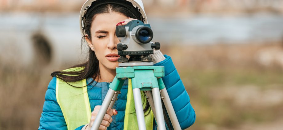
PHOTO: COOK SURVEYING
In the world of construction, real estate, and land development, land surveyors play an indispensable role. These professionals provide crucial information that underpins every project involving land use. From defining property boundaries to creating detailed maps and assessing land for development, land surveyors ensure that projects proceed with accuracy and legality. This article delves into the multifaceted role of land surveyors, the skills and technology they employ, and their significance in various industries.
Understanding the Role of Land Surveyors
Land surveyors are trained professionals who measure and map the environment using specialized tools and techniques. Their work involves determining the precise locations of points on the Earth’s surface and the distances and angles between them. Land surveyor are crucial for establishing property boundaries, constructing buildings, and developing land.
Surveyors work on a variety of projects, including:
- Property Surveys: Establishing and verifying property boundaries for legal purposes.
- Topographic Surveys: Mapping the contours and features of a land area to aid in design and construction.
- Construction Surveys: Providing precise measurements for the placement of structures and infrastructure.
- Subdivision Surveys: Dividing a tract of land into smaller parcels for development or sale.
- Boundary Surveys: Resolving disputes and confirming the legal parameters of properties.
Essential Skills and Qualifications
To become a land surveyor, individuals typically need a strong background in mathematics, engineering, and geography. Most surveyors hold a degree in surveying, geomatics, or a related field. Additionally, they must acquire a license, which usually involves passing a rigorous exam and gaining practical experience under the supervision of a licensed surveyor.
Key skills for land surveyors include:
- Mathematical Proficiency: Ability to perform complex calculations to determine precise measurements.
- Attention to Detail: Ensuring accuracy in measurements and records is critical.
- Technical Expertise: Proficiency with advanced surveying equipment and software.
- Problem-Solving: Addressing and resolving discrepancies or challenges in the field.
- Communication: Conveying information to clients, contractors, and legal entities.
Advanced Technology in Land Surveying
Modern land surveying has evolved significantly with advancements in technology. Traditional tools like theodolites and measuring tapes have been augmented or replaced by sophisticated equipment that enhances accuracy and efficiency.
Global Positioning System (GPS)
GPS technology allows surveyors to determine positions with high precision. Using a network of satellites, surveyors can pinpoint locations on the Earth’s surface within a few centimetres. GPS is especially useful for large-scale projects and in remote areas where traditional methods might be impractical.
Total Stations
A total station is an electronic/optical instrument used in modern surveying. It combines the functions of a theodolite and an electronic distance measurement (EDM) device. Total stations can measure angles and distances from the instrument to a specific point, streamlining the data collection process.
3D Laser Scanning
3D laser scanning, also known as LiDAR (Light Detection and Ranging), is a cutting-edge technology that captures detailed 3D representations of the environment. This method involves emitting laser beams that bounce back from surfaces, providing high-resolution data. LiDAR is invaluable for creating topographic maps, monitoring erosion, and planning infrastructure projects.
Drones
Unmanned aerial vehicles (UAVs), or drones, have revolutionized surveying by providing aerial perspectives and capturing data over large areas quickly. Drones equipped with cameras and LiDAR sensors can produce detailed maps and models, facilitating efficient land assessment and planning.
Applications of Land Surveying
The work of land surveyors is foundational to many industries and activities. Here are some key applications:
Real Estate
In real estate, accurate land surveys are essential for determining property boundaries and ensuring legal descriptions are correct. Surveyors help prevent boundary disputes and provide essential information for property transactions and development.
Construction
Surveyors are integral to construction projects, providing the precise measurements needed to position structures correctly. From laying out the foundation to verifying the placement of utilities and infrastructure, surveyors ensure that construction adheres to design specifications and regulatory requirements.
Urban Planning
Urban planners rely on survey data to make informed decisions about land use and development. Surveyors provide the detailed topographic and boundary information necessary for zoning, planning new developments, and upgrading existing infrastructure.
Environmental Management
Environmental surveyors assess land for conservation, resource management, and environmental impact studies. They collect data on natural features, ecosystems, and human activities, helping to balance development with environmental preservation.
Agriculture
In agriculture, land surveys support efficient land use and resource management. Surveyors help farmers with precision agriculture techniques, irrigation planning, and land levelling, promoting sustainable farming practices and optimizing crop yields.


