






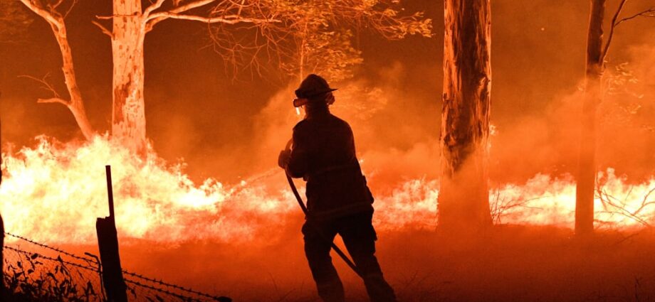
PHOTO: RNZ
Revealed are the current and anticipated bushfire-prone suburbs in New South Wales (NSW), with a focus on the next three decades as temperatures are expected to climb in January. The present list of 20 suburbs most affected by bushfires includes Blue Mountains National Park at the forefront, followed by Colo Vale in the Southern Highlands and Booligal in the Riverina, as per reports from Groundsure ClimateIndexTM.
InfoTrack, a provider of data for conveyancers, lawyers, and homebuyers in NSW, compiled this information, aiming to assist in recognizing climate risks affecting homes now and in the future. Notably, the current and future high-risk suburb, Blue Mountains National Park, remains consistent. The data indicates that, in 30 years, the top five impacted suburbs will predominantly be in the State’s south, foreseeing risks that differ from the current scenario.

NSW top 20 bushfire prone suburbs now and 30 years from now. Source: InfoTrack
New locations at risk in the future encompass Malua Bay, Moruya, and Lilli Pilli on the South Coast, along with the Southern Tablelands’ Araluen. Given recent high temperatures and forecasts of a hot, dry summer, the focus on bushfires intensifies. InfoTrack’s Global Head of Property, John Ahern, emphasizes the significance of identifying emerging high-risk suburbs to better understand bushfire hotspots both presently and decades ahead.
Homebuyers in NSW are encouraged to utilize Groundsure ClimateIndexTM reports, which assess bushfire, flooding, and coastal erosion risks for individual residences. Groundsure CEO Dan Montagnani highlights the comprehensive criteria used in evaluating future bushfire risk, incorporating historical wildfire patterns, lightning frequency, climate conditions, and proximity to bushfire-prone areas. The data aims to empower property lawyers, conveyancers, and buyers, especially crucial in the context of climate change impacting the frequency and severity of bushfires in Australia.
SOURCE: NEWS.COM.AU